


El Niño is underway: A warming Pacific, a shifting storm belt and a region learning to read every cloud as a warning sign


By Bryan Manabat
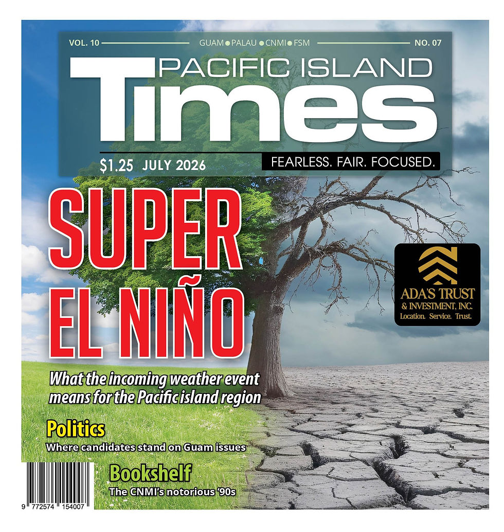
Barely recovering from Supertyphoons Mawar and Sinlaku, island communities across the Marianas and Micronesia are bracing for extreme weather events supercharged by an El Niño predicted to be one of the strongest on record.
On June 11, the National Oceanic and Atmospheric Administration’s National Weather Service announced that El Niño had developed in the tropical Pacific. It warned that the warm phase of the El Niño-Southern Oscillation is predicted to intensify to a moderate or strong level this fall. Forecasters estimate a 63 percent chance that ocean surface temperatures in the monitored region of the Pacific will exceed 2.0°C.
El Niño is a climatic phenomenon characterized by unusually warm surface
waters in the eastern Pacific Ocean, which can significantly influence global
weather patterns and ecosystems.
A strengthening El Niño (Spanish for “Little Boy”) is heating up the Central Pacific, shifting tropical cyclone formation farther east and giving storms more time to intensify before reaching Guam, the CNMI and the wider Micronesian region.
“We're still there on El Niño watch, but we are on the onset of it,” said Christian Williams, meteorologist at National Weather Service-Guam. “The Climate Prediction Center predicts a very strong El Niño this year.”
According to weather.com, 27 El Niño events have been recorded since 1950. The last one happened between the summer of 2023 and early spring of 2024. They occur on average every three to four years and are one of the most important climate drivers on Earth.
“There's a wet phase of El Niño and there's a dry phase. We are currently in the wet phase of El Niño, which tends to happen when we transition from either La Niña or a neutral year to El Niño,” Williams said at a press briefing on June 5.
The Marianas region currently receives a little bit more rainfall, he said. “We've more than doubled our average rainfall per year. In some cases, tripled.”
Every El Niño event is unique, according to Ken Graham, NOAA director. "Advanced monitoring and an improved understanding of El Niño patterns allow the NWS to better predict and better prepare the public and our core partners for what is to come,” he said in an article published in on NOAA’s website.
Depending on an area’s size and geographic location in the Pacific, El Niño will affect countries differently across the region, said Sefanaia Nawadra, director general of the Secretariat of the Pacific Regional Environment Program.
SPREP, one of the node members of the World Meteorological Organization’s Pacific Regional Climate Center, issued an El Niño advisory for the Pacific island region on June 12.
While some may experience drought, others may face heavy rainfall and flooding, he said. Some areas, such as the highlands of Papua New Guinea, experienced frost in June.
Twenty areas, including Guam, the Northern Mariana Islands, Palau, American Samoa, Solomon Islands, the Marshall Islands and Federated States of Micronesia, will likely experience drought and less-than-normal rainfall, Nawadra said. “These dry conditions may lead to water shortage and drought, reduced crop production and yield, increased risks of wildfires and added stress on food security and livelihoods," he said.
Weather models also predict drought in the southern Cook Islands, Fiji, southern French Polynesia, Papua New Guinea, Pitcairn Islands, New Caledonia, Niue, Samoa, southern Tokelau, Tonga, southern Tuvalu, Vanuatu and Wallis and Futuna.
“The impacts of El Niño can be far-reaching, making it critical that we understand the risks, stay informed, and take practical steps to prepare for the months ahead,” Nawadra said.
Other areas in the Pacific are predicted to experience the opposite. Flooding and above-normal rainfall is starting to happen in the Central and Eastern Pacific, such as the northern Cook Islands, far eastern FSM, northern French Polynesia, Kiribati, southern Marshall Islands, Nauru and northern Tuvalu.
This will not only damage infrastructure and contaminate water supplies but also increase the risk of waterborne diseases such as typhoid fever and diseases caused by mosquitoes such as dengue.
“Having an evacuation plan in place is also important for families and communities in low-lying areas in case of flooding,” Nawadra said. “All family members or members of your community need to be aware of what to do, where to go and how to get there. Our plans must outline when to make the call to evacuate, identify the evacuation area as well as the safest route to get there.”
For Guam and the CNMI, which are still recovering from the impact of two of the most disruptive storms in recent history, the forecast is unsettling and residents admit any developing weather pattern is enough to put the Marianas on edge.
On Guam, the trauma of Typhoon Mawar’s May 24, 2023, landfall remains vivid. Mawar’s eyewall scraped the island for hours, ripping apart homes, flattening power poles and plunging tens of thousands into outages for several weeks. Families cooked outdoors, lined up for fuel and lived under tarps as insurance claims dragged on. Many residents say they still tense up when the winds shift or when the National Weather Service issues even a routine disturbance outlook.
In the CNMI, the scars of Super Typhoon Sinlaku are even more recent and more psychologically jarring. Sinlaku behaved unlike any storm in the past. Instead of striking quickly and moving on—the familiar pattern of Marianas typhoons—Sinlaku slowed, stalled and lingered over Saipan and Tinian for nearly three days.
“It was like the storm wanted to take up residence,” said a Saipan resident who spent 72 hours listening to the roof strain under relentless gusts. “We’re used to typhoons that hit hard and leave. This one stayed.”
According to NWS‑Guam’s seasonal outlook, the Marianas could see an unusually active storm season as El Niño continues to strengthen. Forecasters expect four to seven named storms to form or pass near the region for the remainder of 2026, with three to five intensifying into typhoons and two or three reaching major typhoon strength.
The reason is structural: El Niño shifts storm formation farther east into warmer Central Pacific waters. Systems that form earlier and farther east have more time to intensify before reaching the Marianas. During La Niña years, storms tend to form farther west, strengthening as they move away from Micronesia rather than toward it.
NWS‑Guam also warns that the elevated threat extends across Micronesia, including northern CNMI, Yap, Palau, Chuuk, Pohnpei, Kosrae and the Marshall Islands, all of which face increased storm activity under the current El Niño pattern.

In the months since Sinlaku, the Marianas have developed a new kind of vigilance, one shaped by trauma, recovery fatigue and the reality of a warming ocean.
Even a weak disturbance forming east of the Marshall Islands now sparks heightened attention. Social media threads fill with satellite loops. Families check generators. Businesses secure outdoor items. Emergency managers begin quiet coordination calls.
Residents say it’s not panic but conditioning. “After Mawar and Sinlaku, we don’t wait anymore,” said a resident. “If something is out there, even far away, we start paying attention.”
In the CNMI, where thousands are still repairing homes and replacing belongings lost during Sinlaku, the anxiety is sharper. Temporary roofing, patched walls and improvised water catchments make even moderate winds a concern.
NWS‑Guam’s outlook also warns that the region could face a much drier dry season from January through June 2027. The combination of El Niño‑driven heat and the massive amount of vegetation brought down by Sinlaku creates ideal conditions for fast‑moving wildfires.
For Guam and the CNMI, the threat of more storms is not only a public‑safety concern. It is an economic one. Tourism remains the backbone of both island economies, and the anxiety surrounding an El Niño‑charged storm season threatens to slow down the fragile recovery already underway.
ADVERTISEMENT

Industry observers say the first challenge is perception. Even a distant disturbance can generate global headlines, and for potential visitors in Korea, Japan and the United States, repeated advisories, even for storms that never arrive, can create the impression of a destination caught in constant upheaval. In a competitive regional market, that perception alone can push travelers toward more predictable alternatives.
There is also the matter of hesitation. Tourists are increasingly cautious about booking trips during active storm seasons. El Niño’s reputation for producing more intense typhoons has already begun to influence travel behavior. Shorter booking windows, last‑minute cancellations and wavering visitor confidence are becoming more common, especially among families and first‑time travelers.
El Niño’s dry‑season impacts add another layer of uncertainty. A prolonged drought could affect hiking trails, cultural sites and outdoor attractions. Water restrictions—common during strong El Niño years—could complicate hotel operations and diminish the visitor experience at a time when the islands can least afford it.
Economists warn that the psychological impact may be as significant as the physical one. Tourism depends on confidence and confidence erodes quickly when a destination appears to be constantly watching the horizon. In a region where every cloud now feels like a warning, the challenge for Guam and the CNMI is not only to weather the storms, but to reassure the world that they remain open, resilient and ready to welcome visitors.
In a region shaped by wind, water and resilience, the Marianas continue to adapt to an era of slower, stronger and more unpredictable storms. NWS‑Guam has expanded its communication strategy, using visual briefings, social media and multilingual outreach to ensure warnings reach every household.
The message is consistent: prepare early, stay informed and never assume the last storm was the worst.
As El Niño strengthens and the Pacific warms, the Marianas and Micronesia face another season of uncertainty, but also one of hard‑earned readiness.
(With additional reports from Jayvee Vallejera and Mar-Vic Cagurangan)
Subscribe to
our digital
monthly issue


